
Search
Old and antique maps of British Columbia for sale. Our authentic British Columbia map inventory features antique maps of Canada from the period of the earliest European exploration of the Pacific Coast of Canada, including by Vancouver, Malaspina, MacKenzie, and others. Maps of Vancouver and Victoria are also for sale, as well as maps of Vancouver Island.
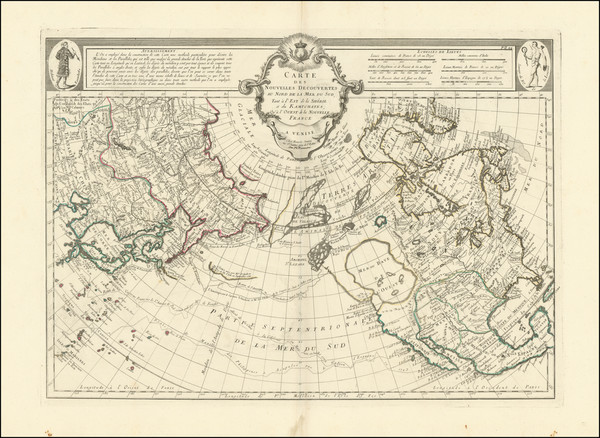
Place/Date:
Venice / 1776
Size:
25 x 18 inches
Condition:
VG
Stock#:
102959
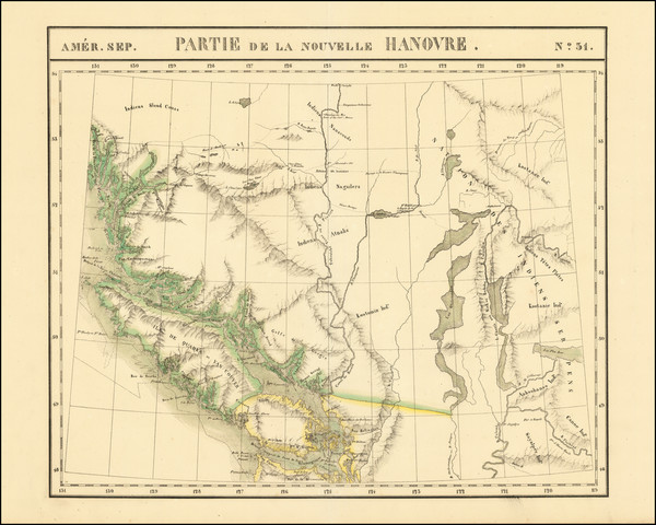
Place/Date:
Brussels / 1825
Size:
20 x 18 inches
Condition:
VG
Stock#:
79950
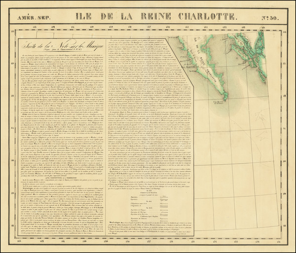
Place/Date:
Brussels / 1825
Size:
22 x 18.5 inches
Condition:
VG+
Stock#:
93550
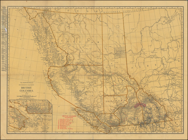
Place/Date:
Chicago / 1926
Size:
11.5 x 17.5 inches
Condition:
VG
Stock#:
83903
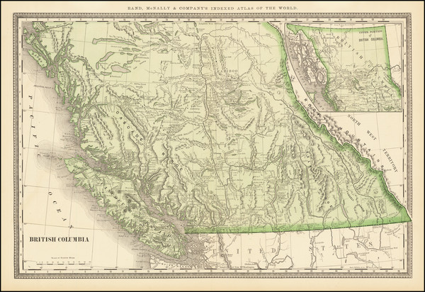
Place/Date:
Chicago / 1898
Size:
26.5 x 17.25 inches
Condition:
Fair
Stock#:
83911
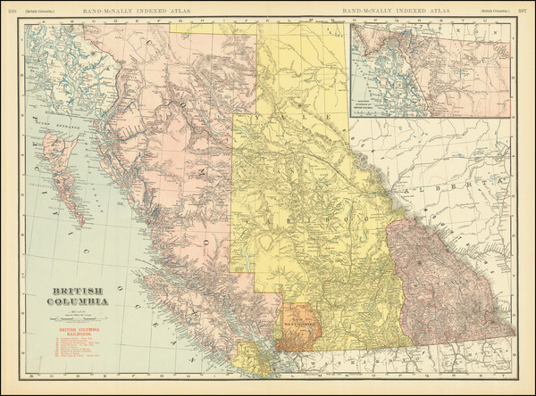
Place/Date:
Chicago / 1911
Size:
18 x 30 inches
Condition:
VG+
Stock#:
83912
Place/Date:
Chicago / 1883
Size:
19.5 x 13 inches
Condition:
VG+
Stock#:
66258
Place/Date:
Chicago / 1911
Size:
26 x 19 inches
Condition:
VG
Stock#:
83946
Place/Date:
Chicago / 1920 circa
Size:
26 x 19 inches
Condition:
Good
Stock#:
96747
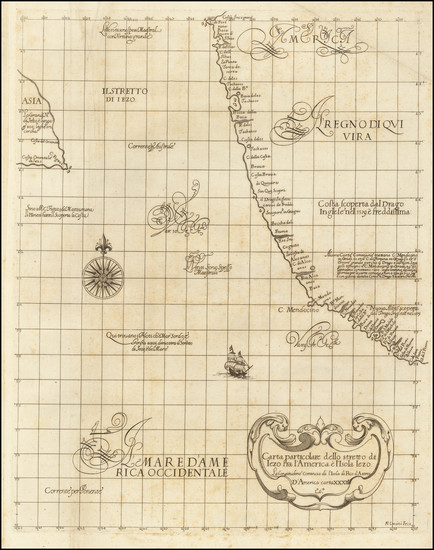
Place/Date:
Florence / 1647 (1661)
Size:
15 x 19 inches
Condition:
VG
Stock#:
67788
17th Century Sea Chart of the Northwest Coast of North America
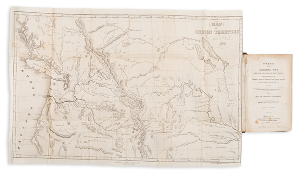
Place/Date:
Utica, NY / 1838 (1840 edition)
Size:
22 x 14.5 inches
Condition:
See Description
Stock#:
97939
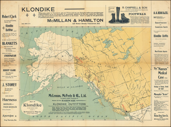
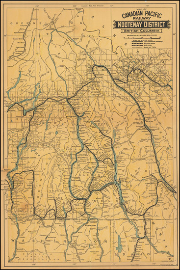
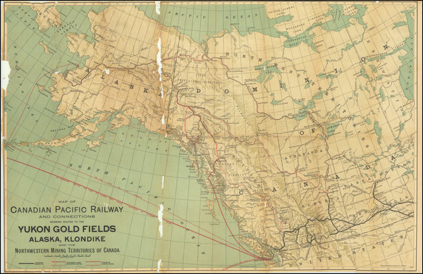
Place/Date:
Vancouver, B.C. / 1898
Size:
21.75 x 16 inches
Condition:
VG
Stock#:
95681
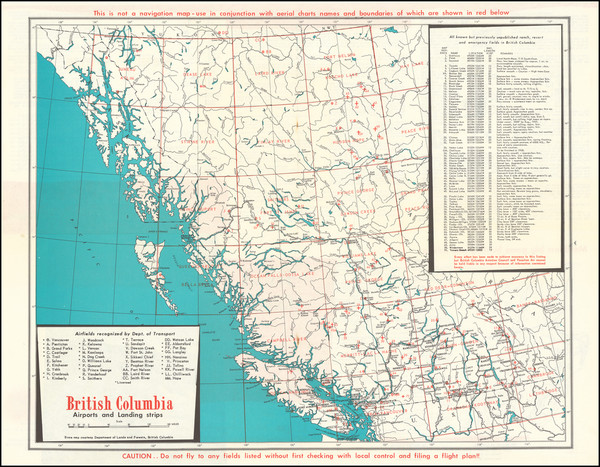
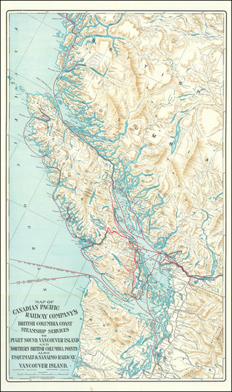
Place/Date:
Vancouver, B.C. / 1965 circa
Size:
19.5 x 15.75 inches
Condition:
VG
Stock#:
90336
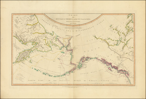
Place/Date:
London / 1808
Size:
27 x 16 inches
Condition:
VG
Stock#:
102033